EARTHQUAKE
WATCH
- Hazard Details
- UPDATE
- USGS
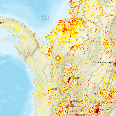
- 33km ENE of Mutata, Colombia
September 14, 2016 03:29:41 GMT
September 14, 2016 01:58:30 GMT
September 14, 2016 03:35:25 GMT
USGS PAGER
-
Image: Population per 1 sq km from Landscan. Click image for full view.

Chart: Percent Chance of Estimated Fatalities
Chart: Percent Chance of Estimated Economic Losses in USD (Millions)
Other Resources / Information