Tornado Warning issued April 6 at 6:52PM CDT expiring April 6 at 7:45PM CDT by NWS Shreveport LA
The National Weather Service in Shreveport has issued a
* Tornado Warning for...
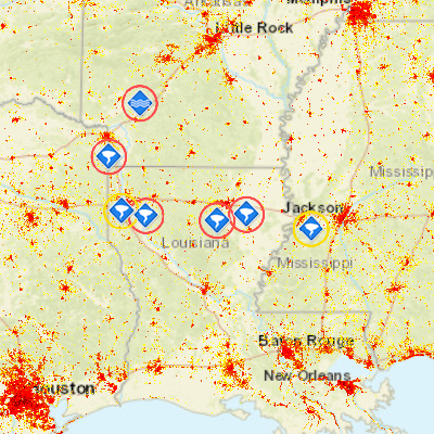
Southeastern Union Parish in north central Louisiana...
Northern Ouachita Parish in north central Louisiana...
* Until 745 PM CDT
* At 652 PM CDT, a severe thunderstorm capable of producing a
tornado was located 8 miles northwest of Claiborne, moving east at
20 mph.
HAZARD...Tornado and half dollar size hail.
SOURCE...Radar indicated rotation.
IMPACT...Flying debris will be dangerous to those caught without
shelter. Mobile homes will be damaged or destroyed.
Damage to roofs, windows, and vehicles will occur. Tree
damage is likely.
* This dangerous storm will be near...
Claiborne around 700 PM CDT.
West Monroe around 705 PM CDT.
Sterlington around 720 PM CDT.
Swartz around 730 PM CDT.
Other locations impacted by this tornadic thunderstorm include
Guthrie, Fairbanks, Deshard, Perryville, Loch Lomon and Rocky Branch.