EARTHQUAKE
ADVISORY
- Hazard Details
- NEW
- USGS
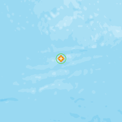
- Southern Mid-Atlantic Ridge
August 29, 2016 21:55:40 GMT
August 29, 2016 21:40:38 GMT
August 29, 2016 21:57:13 GMT
USGS PAGER
-
Image: Population per 1 sq km from Landscan. Click image for full view.

Chart: Percent Chance of Estimated Fatalities
Chart: Percent Chance of Estimated Economic Losses in USD (Millions)
Other Resources / Information