EARTHQUAKE
WATCH
- Hazard Details
- NEW
- USGS
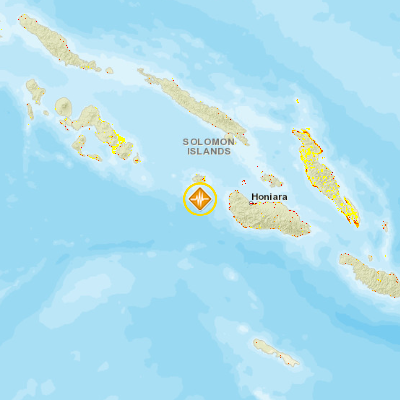
- 88km W of Honiara, Solomon Islands
September 14, 2016 07:44:05 GMT
September 14, 2016 07:24:59 GMT
September 14, 2016 07:47:39 GMT
USGS PAGER
-
Image: Population per 1 sq km from Landscan. Click image for full view.

Chart: Percent Chance of Estimated Fatalities
Chart: Percent Chance of Estimated Economic Losses in USD (Millions)
Other Resources / Information