EARTHQUAKE
ADVISORY
- Hazard Details
- NEW
- USGS
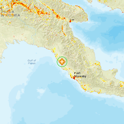
- 107km NW of Port Moresby, Papua New Guinea
August 26, 2016 16:01:46 GMT
August 26, 2016 15:48:39 GMT
August 26, 2016 16:03:55 GMT
USGS PAGER
-
Image: Population per 1 sq km from Landscan. Click image for full view.

Chart: Percent Chance of Estimated Fatalities
Chart: Percent Chance of Estimated Economic Losses in USD (Millions)
Other Resources / Information