EARTHQUAKE
ADVISORY
- Hazard Details
- NEW
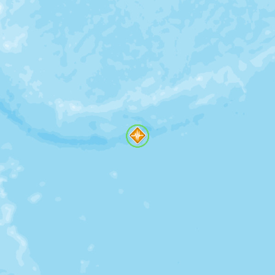
- USGS
- 134km ESE of Ile Hunter, New Caledonia
August 28, 2016 23:46:47 GMT
August 28, 2016 23:29:19 GMT
August 28, 2016 23:49:03 GMT
USGS PAGER
-
Image: Population per 1 sq km from Landscan. Click image for full view.

Chart: Percent Chance of Estimated Fatalities
Chart: Percent Chance of Estimated Economic Losses in USD (Millions)
Other Resources / Information